Frequently Asked Questions
What is a Greater Sage-grouse (GRSG)?
A GRSG is a large round-winged, ground-dwelling bird with a round body, small head, and long tail, whose sole habitat is the sagebrush steppe of the intermountain West. Females are mottled brown, black, and white. Males are larger and, in spring, they have a white ruff around their necks, a black throat, a yellow eyecomb, and bright yellow air sacks on their breasts. The feathers on the back, wings, and tail are mostly brown, with some white and black spots. Both sexes have white bellies outlined in black. The GRSG can grow up to 30 inches long and two feet tall, weighing from 2.5 to 7 pounds and eats sagebrush leaves, wildflowers, and insects. In winter, GRSG can live on a 100 percent sagebrush diet. Chicks must have a high-quality insect diet for the first several weeks after hatching. During mating season (March to May), the birds meet on patches of bare ground called leks, where the males perform elaborate strutting displays and females evaluate their performance and choose their mates.
Why do we care about the GRSG and the sagebrush ecosystem?
Sagebrush dominates much of western North America, with approximately 165 million acres of potential habitat. Early settlers traveling by wagon train called it the sagebrush sea. Despite its prevalence and amazing resilience to climatic extremes, it is an ecosystem that is being challenged by a combination of forces. Years of drought conditions and wildfire have accelerated the decline of the sagebrush habitat.
Nevada is known as the Sagebrush State. Its sagebrush ecosystem supports many animals from GRSG and pygmy rabbits to mule deer and antelope. In addition to Nevada, GRSG can be found in 10 Western states and Canada. They live at elevations ranging from 4,000 to 9,000 feet and depend on sagebrush for food and cover. GRSG populations are considered a harbinger of the overall health of the sagebrush ecosystem.
GRSG populations have steadily declined range-wide since the 1960s (USFWS) and have shown a generally declining trend in Nevada (NDOW). The potential listing of the GRSG as threatened or endangered would greatly impact the management of lands in Nevada. It would limit back-country tourism, which is a mainstay for many rural Nevada communities, and other industries such as ranching, mining, and renewable energy development.
How are conditions impacting the sagebrush growth?
While the sagebrush is seemingly hearty with two kinds of root systems and depends on winds for pollination, it does not regenerate well after wildfire and takes a long time to grow. Once this important vegetation is lost, the terrain is more susceptible to invasive or opportunistic species such as cheat grass, pinon pine, juniper trees, and other invasive or encroaching plants that can compete with the sagebrush for space and nutrients.
Why is the Nevada Conservation Credit System (CCS) necessary?
Industries that impact GRSG habitats have been paying mitigation fees or conducting mitigation activities in recent years to offset their impacts. However, the ability to objectively quantify the increase or decrease in the quality of the habitats through mitigation efforts has been missing. Not all acres of sagebrush are equal and do not necessarily provide high quality habitat for GRSG. As such, mitigation discussions have been conducted on a case-by-case basis and often have been a subjective process that can result in long negotiations based on multiple sets of information at the table. The CCS brings in an objective process, based on best available GRSG science in Nevada, to quantify quality, or function, of GRSG habitats at several scales.
On the credit side, using the concept of credit projects that have a requirement for maintaining habitat function over time is a step beyond the previous strategy that put the improvement on the landscape, but there was no long-term commitment to maintain the mitigation site. In addition, giving credit developers the incentive of profit to engage in conservation actions provides the opportunity for conservation actions on private lands.
While many of Nevada’s most significant threats are something other than anthropogenic disturbances (e.g. fire, invasive plants, pinyon/juniper expansion), the need exists to sufficiently address fragmentation and other degradation caused by large scale human disturbances. This need was the impetus for the development of a robust tool that could adequately measure enhancement and protection activities (credits) that would offset anthropogenic disturbances (debits) to maintain a net benefit to GRSG and their habitats.
What is the Conservation Credit System (CSS) and how does it function?
In general, impacts from disturbance (debits) are offset by conservation actions (credits) and credit developers are rewarded for their good work.
Disturbance projects are evaluated for the number of debits incurred. Credit projects are evaluated for the number of credits conserved. Those creating debits will need to purchase credits in an amount necessary to offset their impact. For a given project site, the quality (function) of habitat is multiplied by the quantity of habitat (acres) – this results in a determination of functional acres for the project. Functional acres are then translated into credits or debits. Credit developers can make a profit from the credits that they sell.
What is a credit and debit and how are they determined?
Credits are determined by the number of functional acres within the project site above general regional conditions (baseline). This can be achieved by committing to maintain the current functional acres over time (referred to as “preservation project”, though active management of the site is required) or by enhancing or restoring the project site and committing to maintain the additional functional acres achieved over time (referred to as “enhancement” or “restoration” projects).
A functional acre is represented by the assessed habitat functionality above baseline multiplied by the total number of acres being considered for enrollment. In general, functionality incorporates three separate spatial scales:
Landscape Scale – Geospatial data
Local Scale – Geospatial data
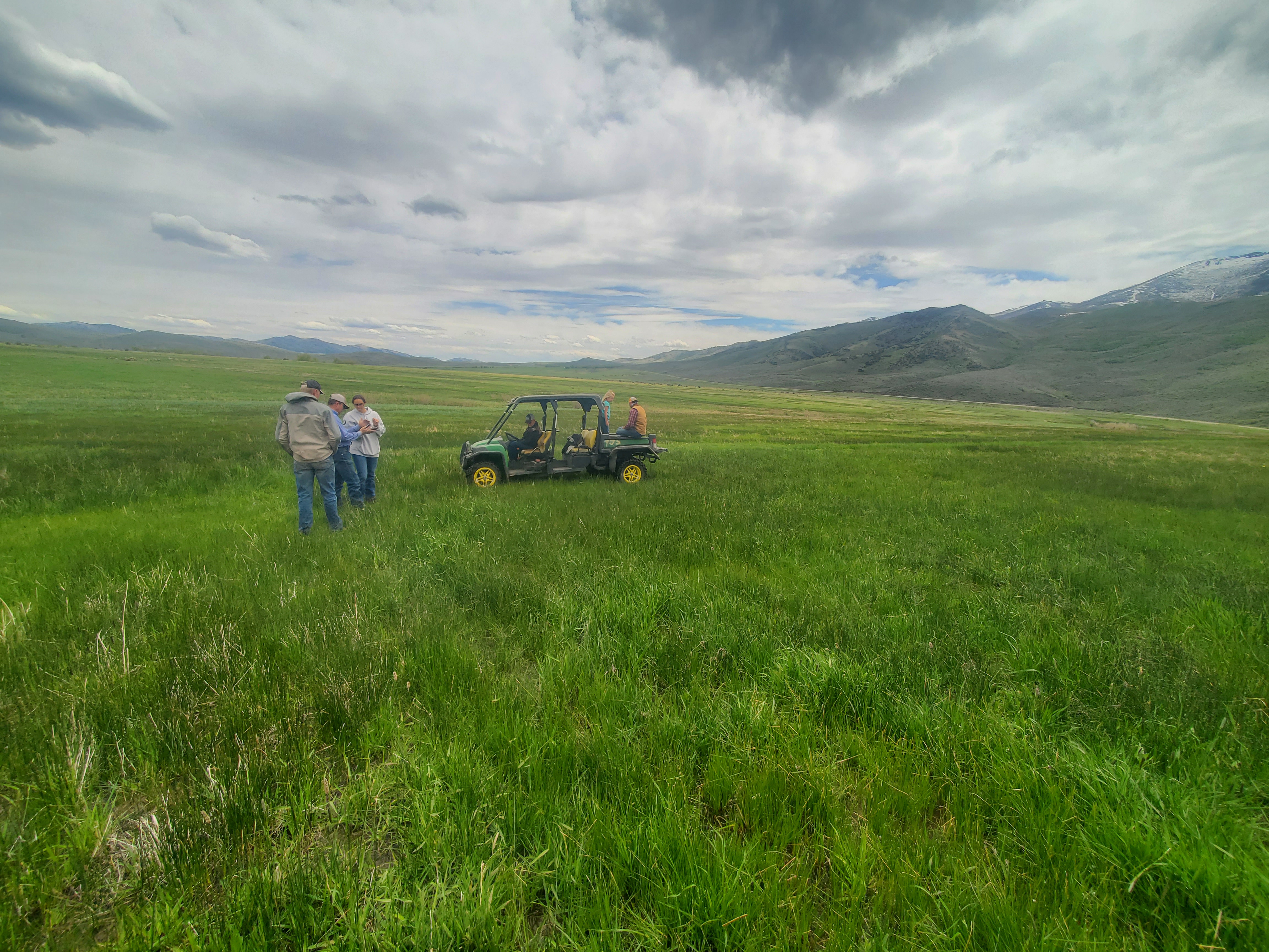
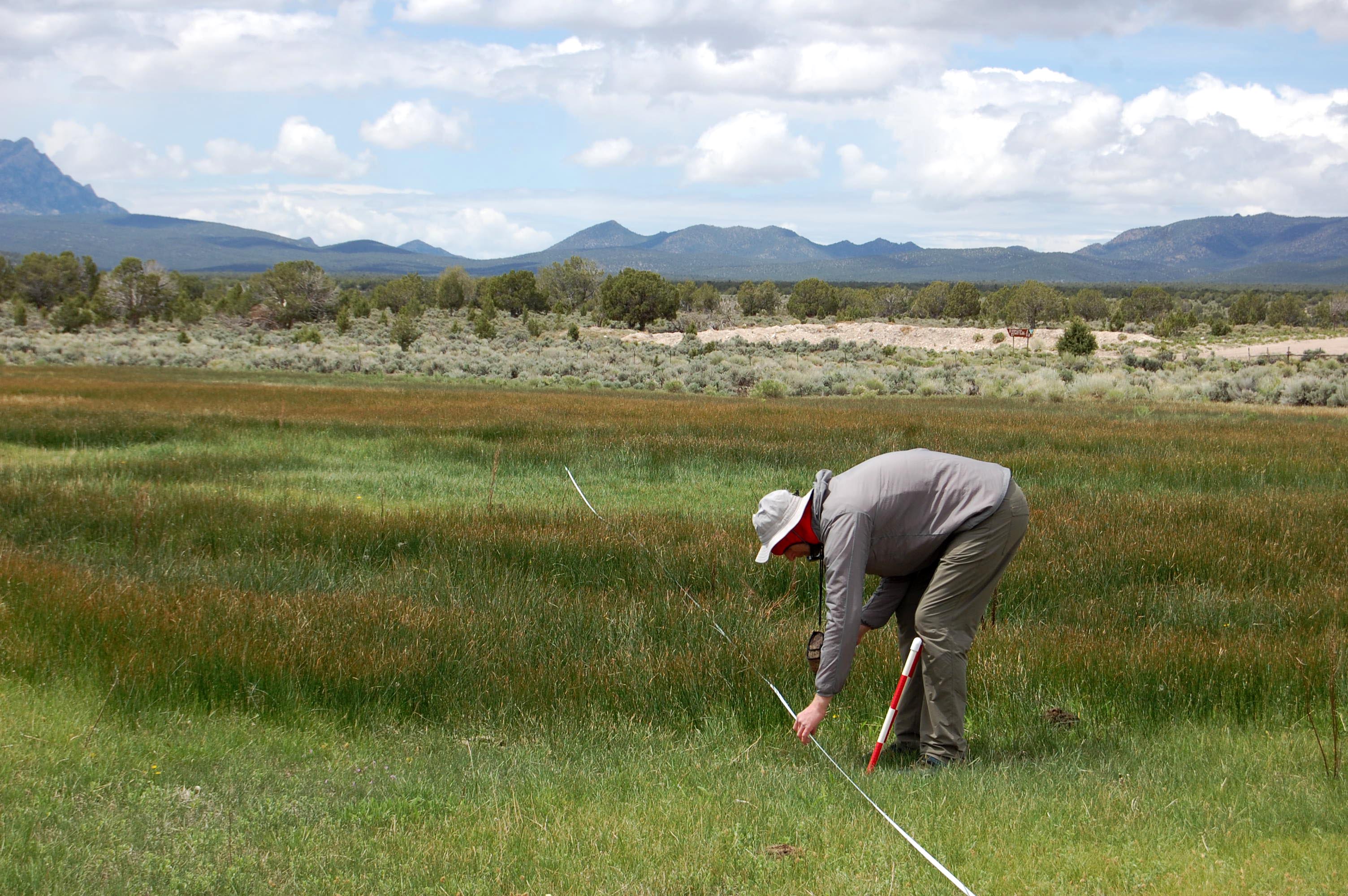
Site Scale – Field data
Am I required to mitigate using the CCS if my project is in or near GRSG habitat?
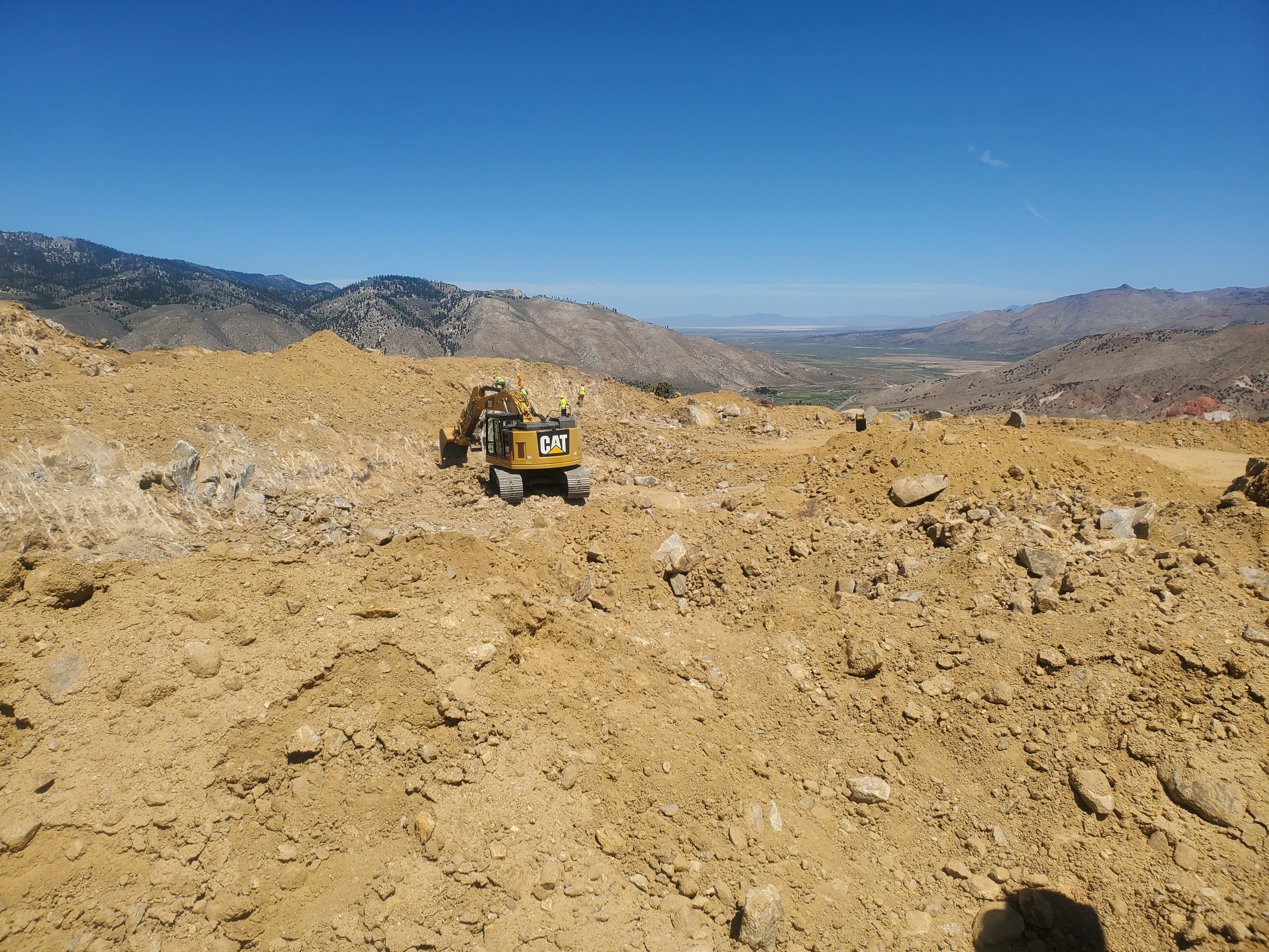
If an anthropogenic disturbance is in or within 6km of mapped GRSG management areas, then it may require compensatory mitigation through the CCS, per State Mitigation regulation (NAC 232.400-232.480), which requires mitigation for qualifying disturbances in GRSG habitat. Anthropogenic disturbances may include the following categories: mining, oil and gas, renewable (geothermal, wind, solar), roads, powerlines, rights-of-way (ROW), urban development, towers, data centers, railroads, and mineral exploration (> 5 acres).
Will my mitigation offset reduce or negate the impacts of my project on GRSG?
No, compensatory mitigation does not negate or reduce effects of an anthropogenic disturbance on the local GRSG population and sagebrush ecosystem, it simply ensures the presence of GRSG habitat in another location. Even after offsetting an anthropogenic disturbance, the GRSG population, and its habitat, in the vicinity of the disturbance will experience immediate and long-term effects.
Who can develop credits?
Credits can be developed within GRSG habitat on private, tribal, and public lands. Private landowners, on a voluntary basis, are currently eligible to participate in the program. Debit Project Proponents can generate credits on public lands for the direct offset of the specific disturbance project.
How much is a credit (functional acre) worth?
Credit prices are market-driven and may be sold for any price that a credit developer sets to be financially viable for their needs. There is no set value for per credit.
What is the contract period for credits or debits?
Credit and standard Debit Project durations are a minimum of 30 years, and increase in 5-year term increments up to perpetuity. Mineral exploration projects have a minimum term of 10 years. Credit developers may set the contract period for their project. Credit buyers must purchase credits that are equal in duration to the life of the disturbance being offset.
How do I enroll in the CCS?
If required by NAC 232.400-480 to mitigate project disturbances or interested in enrolling in the Program as a Credit Project, please contact the Sagebrush Ecosystem Program.